Current Green City Studio Projects
Palm Lakes Park Proposals: Envisioning a Kid-Friendly Park System for Pomona, California
May 2026
Download the Report (179 MB)
In partnership with Clean & Green Pomona
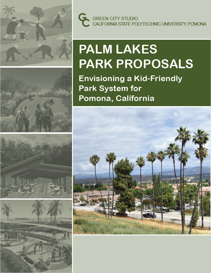
For many years, the City of Pomona operated the Palm Lakes Municipal Golf Course, a nine-hole, executive course and driving range located on 15.8 acres in south Pomona, which closed in 2015. In 2025, Clean & Green Pomona successfully advocated for the city to designate this site as a future park. Clean & Green Pomona engaged the Green City Studio to facilitate workshops and develop a series of proposals intended to spark creative thinking within the community about the potential of this new park. The city recently received a planning grant to engage the community in the process of planning for this park. It is hoped the results of these workshops and the ideas generated by the Green City Studio will be useful in this process.
The report includes an inventory and analysis of the current Pomona park system, the results of three community workshops facilitated by the Green City Studio, analysis of recent park design precedents from across the country, and 14 design proposals for the future park at Palm Lakes.
You can learn about past projects on our reports page. If you would like to learn more about how your community or organization might partner with the Green City Studio contact us.